The A4059 climbs away from Penderyn
Introduction
The photograph on this page of The A4059 climbs away from Penderyn by Jaggery as part of the Geograph project.
The Geograph project started in 2005 with the aim of publishing, organising and preserving representative images for every square kilometre of Great Britain, Ireland and the Isle of Man.

There are currently over 7.5m images from over 14,400 individuals and you can help contribute to the project by visiting https://www.geograph.org.uk
The A4059 climbs away from Penderyn
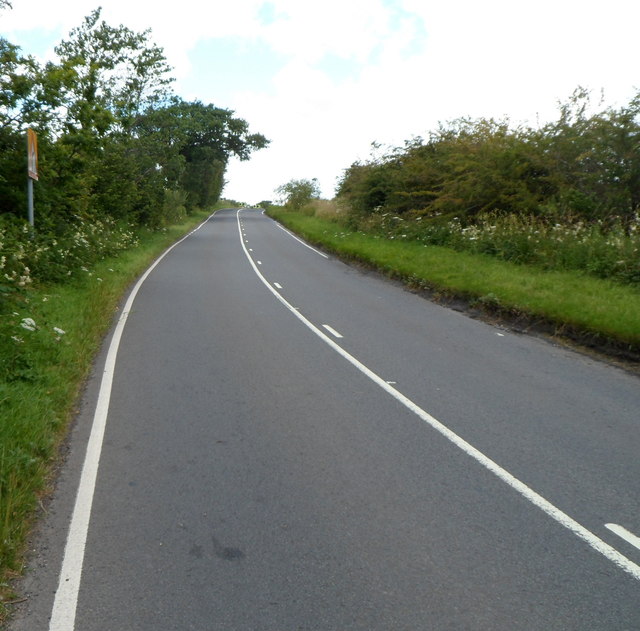
Image: © Jaggery Taken: 29 Jul 2012
Viewed from near the northern boundary http://www.geograph.org.uk/photo/3059602 of Penderyn. Ahead, on the way to the Storey Arms Centre, the road reaches a height of about 450 metres (c 1,475 ft) above sea level. Most of the route is through moorland where trees are few and stunted, but sheep and spectacular views are plentiful.
Images are licensed for reuse under creativecommons.org/licenses/by-sa/2.0
Image Location
Latitude
51.771212
Longitude
-3.53169