Gladstone Road
Introduction
The photograph on this page of Gladstone Road by Terry Jacombs as part of the Geograph project.
The Geograph project started in 2005 with the aim of publishing, organising and preserving representative images for every square kilometre of Great Britain, Ireland and the Isle of Man.

There are currently over 7.5m images from over 14,400 individuals and you can help contribute to the project by visiting https://www.geograph.org.uk
Gladstone Road
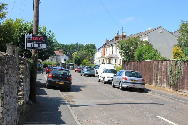
Image: © Terry Jacombs Taken: 27 Jul 2012
This short no through road of early twentieth century houses is opposite the church in the centre of Charlton Kings village.
Images are licensed for reuse under creativecommons.org/licenses/by-sa/2.0
Image Location
Latitude
51.88233
Longitude
-2.054579