Ravensgate Road (north)
Introduction
The photograph on this page of Ravensgate Road (north) by Terry Jacombs as part of the Geograph project.
The Geograph project started in 2005 with the aim of publishing, organising and preserving representative images for every square kilometre of Great Britain, Ireland and the Isle of Man.

There are currently over 7.5m images from over 14,400 individuals and you can help contribute to the project by visiting https://www.geograph.org.uk
Ravensgate Road (north)
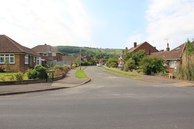
Image: © Terry Jacombs Taken: 27 Jul 2012
Ravensgate Road is part of the Beeches Estate a 1960s/1970s development on the southern side of Charlton Kings. Hartley Hill/Leckhampton Hill visible in the background.
Images are licensed for reuse under creativecommons.org/licenses/by-sa/2.0
Image Location
Latitude
51.877298
Longitude
-2.047455