A693 at East Stanley
Introduction
The photograph on this page of A693 at East Stanley by Robert Graham as part of the Geograph project.
The Geograph project started in 2005 with the aim of publishing, organising and preserving representative images for every square kilometre of Great Britain, Ireland and the Isle of Man.

There are currently over 7.5m images from over 14,400 individuals and you can help contribute to the project by visiting https://www.geograph.org.uk
A693 at East Stanley
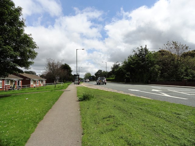
Image: © Robert Graham Taken: 13 Jul 2012
This is the main road out of Stanley town to the east, leading to Chester Le Street and the A1M motorway.
Images are licensed for reuse under creativecommons.org/licenses/by-sa/2.0
Image Location
Latitude
54.872084
Longitude
-1.685977