The meandering Mersey
Introduction
The photograph on this page of The meandering Mersey by Gerald England as part of the Geograph project.
The Geograph project started in 2005 with the aim of publishing, organising and preserving representative images for every square kilometre of Great Britain, Ireland and the Isle of Man.

There are currently over 7.5m images from over 14,400 individuals and you can help contribute to the project by visiting https://www.geograph.org.uk
The meandering Mersey
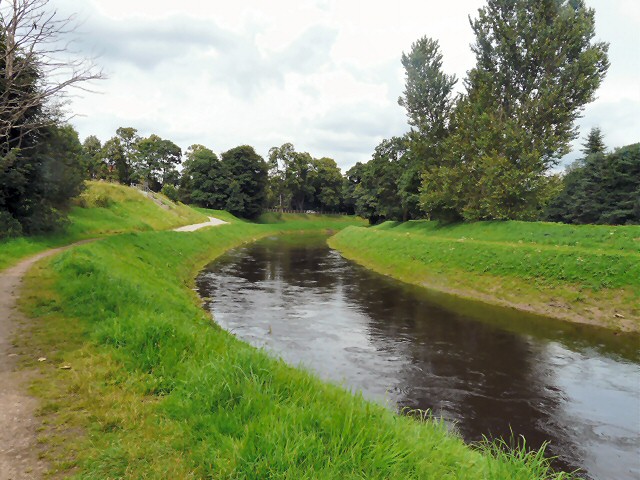
Image: © Gerald England Taken: 21 Jul 2012
After making a wide meander northwards towards West Didsbury the River Mersey is here turning SE. The Trans Pennine Trail follows the northern bank (though at this point it is actually SW). A cycletrack follows the southern bank (here on the NE side). On the left are the Darley Avenue wastewater pumping stations.
Images are licensed for reuse under creativecommons.org/licenses/by-sa/2.0
Image Location
Latitude
53.421017
Longitude
-2.254409