Southwell Trail
Introduction
The photograph on this page of Southwell Trail by Richard Croft as part of the Geograph project.
The Geograph project started in 2005 with the aim of publishing, organising and preserving representative images for every square kilometre of Great Britain, Ireland and the Isle of Man.

There are currently over 7.5m images from over 14,400 individuals and you can help contribute to the project by visiting https://www.geograph.org.uk
Southwell Trail
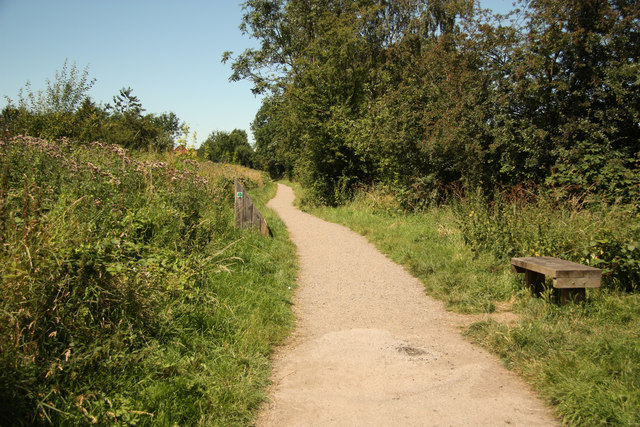
Image: © Richard Croft Taken: 24 Jul 2012
Walking, cycling & horse-riding route between Southwell and Farnsfield on the former Midland Railway, opened 1871, closed 1968. http://www.nottinghamshire.gov.uk/enjoying/countryside/nature-reserves/southwell-trail/
Images are licensed for reuse under creativecommons.org/licenses/by-sa/2.0
Image Location
Latitude
53.082439
Longitude
-0.948057