Footpath to play area
Introduction
The photograph on this page of Footpath to play area by Rose and Trev Clough as part of the Geograph project.
The Geograph project started in 2005 with the aim of publishing, organising and preserving representative images for every square kilometre of Great Britain, Ireland and the Isle of Man.

There are currently over 7.5m images from over 14,400 individuals and you can help contribute to the project by visiting https://www.geograph.org.uk
Footpath to play area
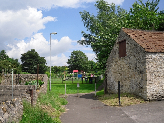
Image: © Rose and Trev Clough Taken: 8 Jul 2012
Path off the High Street, which continues round to the village hall.
Images are licensed for reuse under creativecommons.org/licenses/by-sa/2.0
Image Location
Latitude
51.208725
Longitude
-2.378012