Swanborough Drove
Introduction
The photograph on this page of Swanborough Drove by Simon Carey as part of the Geograph project.
The Geograph project started in 2005 with the aim of publishing, organising and preserving representative images for every square kilometre of Great Britain, Ireland and the Isle of Man.

There are currently over 7.5m images from over 14,400 individuals and you can help contribute to the project by visiting https://www.geograph.org.uk
Swanborough Drove
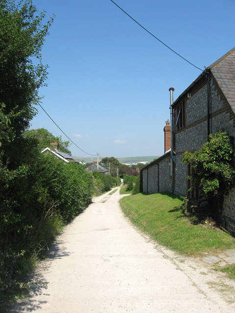
Image: © Simon Carey Taken: 26 Jul 2012
The track, an old droveway, links the C7 to a point just behind me where it divides becoming Dencher Road and Breach Road both leading up onto the Downs. To the immediate right is Coombe Barn, a converted barn, then beyond on the left are Downshaw and West View Lodge, with the small hamlet of Swanborough obscured by the trees in the distance.
Images are licensed for reuse under creativecommons.org/licenses/by-sa/2.0
Image Location
Latitude
50.850396
Longitude
-0.014985