Bottom end of Barcusclose Lane
Introduction
The photograph on this page of Bottom end of Barcusclose Lane by Robert Graham as part of the Geograph project.
The Geograph project started in 2005 with the aim of publishing, organising and preserving representative images for every square kilometre of Great Britain, Ireland and the Isle of Man.

There are currently over 7.5m images from over 14,400 individuals and you can help contribute to the project by visiting https://www.geograph.org.uk
Bottom end of Barcusclose Lane
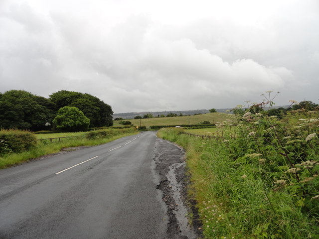
Image: © Robert Graham Taken: 11 Jul 2012
Looking south down this little country lane which runs into Tanfield from the village of Crookgate, just to the north.
Images are licensed for reuse under creativecommons.org/licenses/by-sa/2.0
Image Location
Latitude
54.89586
Longitude
-1.706686