Lockwell Wood
Introduction
The photograph on this page of Lockwell Wood by Des Blenkinsopp as part of the Geograph project.
The Geograph project started in 2005 with the aim of publishing, organising and preserving representative images for every square kilometre of Great Britain, Ireland and the Isle of Man.

There are currently over 7.5m images from over 14,400 individuals and you can help contribute to the project by visiting https://www.geograph.org.uk
Lockwell Wood
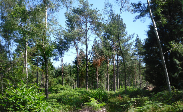
Image: © Des Blenkinsopp Taken: 23 Jul 2012
Mixed woodland, part of Bishops Wood Country Park. The London Loop Path goes through it on the northern side.
Images are licensed for reuse under creativecommons.org/licenses/by-sa/2.0
Image Location
Latitude
51.61461
Longitude
-0.456883