The site of a breach in the Manchester, Bolton and Bury Canal
Introduction
The photograph on this page of The site of a breach in the Manchester, Bolton and Bury Canal by Raymond Knapman as part of the Geograph project.
The Geograph project started in 2005 with the aim of publishing, organising and preserving representative images for every square kilometre of Great Britain, Ireland and the Isle of Man.

There are currently over 7.5m images from over 14,400 individuals and you can help contribute to the project by visiting https://www.geograph.org.uk
The site of a breach in the Manchester, Bolton and Bury Canal
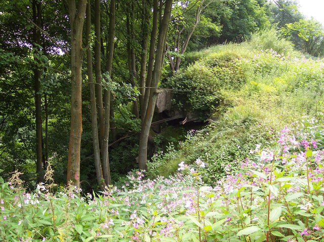
Image: © Raymond Knapman Taken: 26 Jul 2012
The breach occurred in 1936 and effectively cut off the branch to Bury. The concrete canal bank is seen exposed and metal strengthening rails protrude in the undergrowth.
Images are licensed for reuse under creativecommons.org/licenses/by-sa/2.0
Image Location
Latitude
53.554997
Longitude
-2.371895