Mathry village green
Introduction
The photograph on this page of Mathry village green by Natasha Ceridwen de Chroustchoff as part of the Geograph project.
The Geograph project started in 2005 with the aim of publishing, organising and preserving representative images for every square kilometre of Great Britain, Ireland and the Isle of Man.

There are currently over 7.5m images from over 14,400 individuals and you can help contribute to the project by visiting https://www.geograph.org.uk
Mathry village green
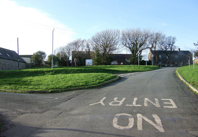
Image: © Natasha Ceridwen de Chroustchoff Taken: 4 Jan 2007
Four roads and several tracks meet here at this hilltop village which was once important enough to have a weekly market and an annual hiring fair. Community events still take place on the green. This is the view looking up from beside the pub, the church is immediately to the right with the shop above and the school below it.
Images are licensed for reuse under creativecommons.org/licenses/by-sa/2.0
Image Location
Latitude
51.944886
Longitude
-5.087157