Sutton Drove junction with Blatchington Hill
Introduction
The photograph on this page of Sutton Drove junction with Blatchington Hill by Dave Spicer as part of the Geograph project.
The Geograph project started in 2005 with the aim of publishing, organising and preserving representative images for every square kilometre of Great Britain, Ireland and the Isle of Man.

There are currently over 7.5m images from over 14,400 individuals and you can help contribute to the project by visiting https://www.geograph.org.uk
Sutton Drove junction with Blatchington Hill
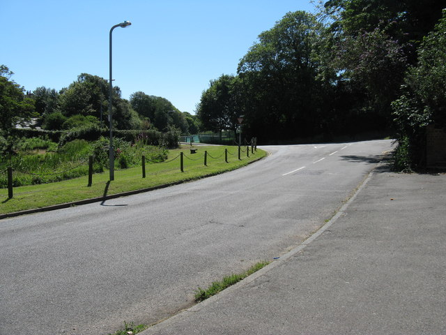
Image: © Dave Spicer Taken: 22 Jul 2012
On the left is East Blatchington Pond which was restored in 1980 by local residents, their story and photos can be found at http://www.seaford-sussex.co.uk/pond/restoration
Images are licensed for reuse under creativecommons.org/licenses/by-sa/2.0
Image Location
Latitude
50.776243
Longitude
0.105563