Hollinsclough Methodist Chapel
Introduction
The photograph on this page of Hollinsclough Methodist Chapel by Chris Morgan as part of the Geograph project.
The Geograph project started in 2005 with the aim of publishing, organising and preserving representative images for every square kilometre of Great Britain, Ireland and the Isle of Man.

There are currently over 7.5m images from over 14,400 individuals and you can help contribute to the project by visiting https://www.geograph.org.uk
Hollinsclough Methodist Chapel
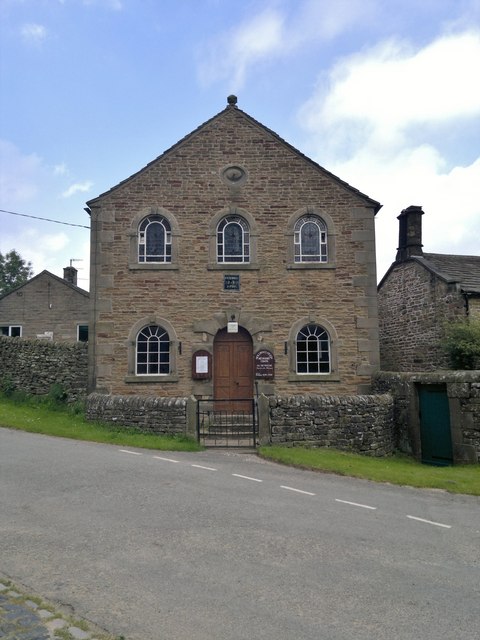
Image: © Chris Morgan Taken: 25 Jul 2012
Original chapel built in 1801, see; http://buxtonmethodistcircuit.org.uk/holl.html Hollinsclough is a very small village, but still has a primary school as well as the chapel. See; http://en.wikipedia.org/wiki/Hollinsclough
Images are licensed for reuse under creativecommons.org/licenses/by-sa/2.0
Image Location
Latitude
53.196083
Longitude
-1.904163