Railway in Dowlow quarry
Introduction
The photograph on this page of Railway in Dowlow quarry by Graham Hogg as part of the Geograph project.
The Geograph project started in 2005 with the aim of publishing, organising and preserving representative images for every square kilometre of Great Britain, Ireland and the Isle of Man.

There are currently over 7.5m images from over 14,400 individuals and you can help contribute to the project by visiting https://www.geograph.org.uk
Railway in Dowlow quarry
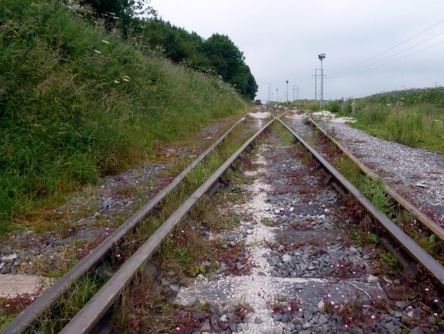
Image: © Graham Hogg Taken: 25 Jul 2012
Originally the Cromford and High Peak Railway, the line is now used to transport material extracted from the nearby Dowlow and Hindlow quarries. South of here the trackbed of the railway now forms the High Peak Trail Image
Images are licensed for reuse under creativecommons.org/licenses/by-sa/2.0
Image Location
Latitude
53.205278
Longitude
-1.843508