Upper Slaithwaite Church
Introduction
The photograph on this page of Upper Slaithwaite Church by John Illingworth as part of the Geograph project.
The Geograph project started in 2005 with the aim of publishing, organising and preserving representative images for every square kilometre of Great Britain, Ireland and the Isle of Man.

There are currently over 7.5m images from over 14,400 individuals and you can help contribute to the project by visiting https://www.geograph.org.uk
Upper Slaithwaite Church
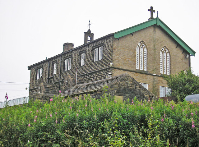
Image: © John Illingworth Taken: 25 Jul 2012
Founded in 1845 as Upper Slaithwaite Church Mission School. This is locally known as "Shred" which was the name given to the small piece of waste land donated by the Earl of Dartmouth for its construction.
Images are licensed for reuse under creativecommons.org/licenses/by-sa/2.0
Image Location


Leaflet Map data © OpenStreetMap
Latitude
53.62799
Longitude
-1.913018