Londonderry and Enniskillen Railway
Introduction
The photograph on this page of Londonderry and Enniskillen Railway by Richard Webb as part of the Geograph project.
The Geograph project started in 2005 with the aim of publishing, organising and preserving representative images for every square kilometre of Great Britain, Ireland and the Isle of Man.

There are currently over 7.5m images from over 14,400 individuals and you can help contribute to the project by visiting https://www.geograph.org.uk
Londonderry and Enniskillen Railway
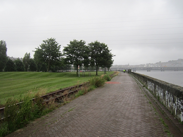
Image: © Richard Webb Taken: 18 Jul 2012
The route of the Londonderry and Enniskillen Railway is now a walkway alongside the River Foyle and some track has been relaid as part of the Foyle Valley Railway Museum. The Craigavon Bridge can be seen in the background.
Images are licensed for reuse under creativecommons.org/licenses/by-sa/2.0
Image Location
Latitude
54.98997
Longitude
-7.323221