Ewelme Close, Dursley
Introduction
The photograph on this page of Ewelme Close, Dursley by Jaggery as part of the Geograph project.
The Geograph project started in 2005 with the aim of publishing, organising and preserving representative images for every square kilometre of Great Britain, Ireland and the Isle of Man.

There are currently over 7.5m images from over 14,400 individuals and you can help contribute to the project by visiting https://www.geograph.org.uk
Ewelme Close, Dursley
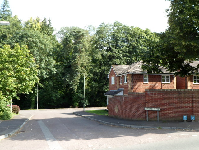
Image: © Jaggery Taken: 21 Jul 2012
Viewed from Uley Road. The trees in the distance line the south bank of the River Ewelme, known as the River Cam further downstream.
Images are licensed for reuse under creativecommons.org/licenses/by-sa/2.0
Image Location
Latitude
51.679359
Longitude
-2.344172