Highfields Approach, Dursley
Introduction
The photograph on this page of Highfields Approach, Dursley by Jaggery as part of the Geograph project.
The Geograph project started in 2005 with the aim of publishing, organising and preserving representative images for every square kilometre of Great Britain, Ireland and the Isle of Man.

There are currently over 7.5m images from over 14,400 individuals and you can help contribute to the project by visiting https://www.geograph.org.uk
Highfields Approach, Dursley
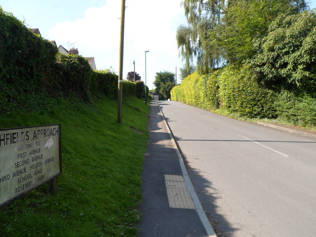
Image: © Jaggery Taken: 21 Jul 2012
The large street name sign shows that Highfields Approach leads to First Avenue, Second Avenue, Third Avenue, Fourth Avenue, School Road and Rosebery Park. This way also leads to Dursley Primary School. The shortest route is via Third Avenue.
Images are licensed for reuse under creativecommons.org/licenses/by-sa/2.0
Image Location
Latitude
51.678452
Longitude
-2.347058