Victoria Close flats, Dursley
Introduction
The photograph on this page of Victoria Close flats, Dursley by Jaggery as part of the Geograph project.
The Geograph project started in 2005 with the aim of publishing, organising and preserving representative images for every square kilometre of Great Britain, Ireland and the Isle of Man.

There are currently over 7.5m images from over 14,400 individuals and you can help contribute to the project by visiting https://www.geograph.org.uk
Victoria Close flats, Dursley
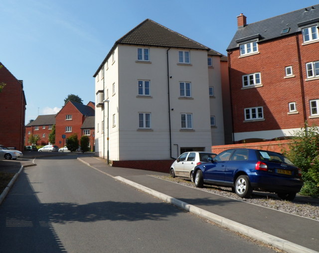
Image: © Jaggery Taken: 21 Jul 2012
Built c2008, the flats are located between Long Street behind the camera, and Lister Street ahead.
Images are licensed for reuse under creativecommons.org/licenses/by-sa/2.0
Image Location
Latitude
51.681136
Longitude
-2.351417