Hartford Mill, Freehold
Introduction
The photograph on this page of Hartford Mill, Freehold by David Dixon as part of the Geograph project.
The Geograph project started in 2005 with the aim of publishing, organising and preserving representative images for every square kilometre of Great Britain, Ireland and the Isle of Man.

There are currently over 7.5m images from over 14,400 individuals and you can help contribute to the project by visiting https://www.geograph.org.uk
Hartford Mill, Freehold
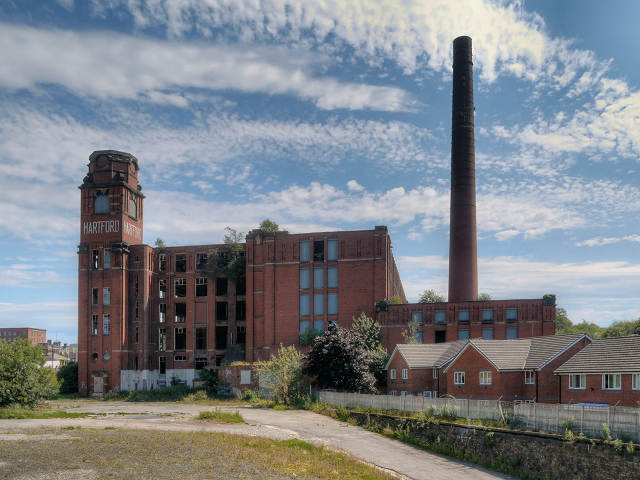
Image: © David Dixon Taken: 22 Jul 2012
The derelict, Grade II listed, Hartford Mill near the Freehold Metrolink station. This view is from the back of the tram station.
Images are licensed for reuse under creativecommons.org/licenses/by-sa/2.0
Image Location
Latitude
53.537341
Longitude
-2.136512