Sheffield Tram
Introduction
The photograph on this page of Sheffield Tram by John Poyser as part of the Geograph project.
The Geograph project started in 2005 with the aim of publishing, organising and preserving representative images for every square kilometre of Great Britain, Ireland and the Isle of Man.

There are currently over 7.5m images from over 14,400 individuals and you can help contribute to the project by visiting https://www.geograph.org.uk
Sheffield Tram
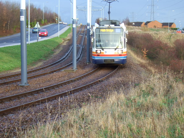
Image: © John Poyser Taken: 5 Jan 2007
From Crystal Peaks through the city centre and on to Malin Bridge terminus, seen here just leaving Donest Way stop.
Images are licensed for reuse under creativecommons.org/licenses/by-sa/2.0
Image Location
Latitude
53.341174
Longitude
-1.373362