Junction for Norham
Introduction
The photograph on this page of Junction for Norham by Stanley Howe as part of the Geograph project.
The Geograph project started in 2005 with the aim of publishing, organising and preserving representative images for every square kilometre of Great Britain, Ireland and the Isle of Man.

There are currently over 7.5m images from over 14,400 individuals and you can help contribute to the project by visiting https://www.geograph.org.uk
Junction for Norham
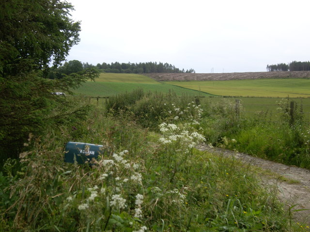
Image: © Stanley Howe Taken: 24 Jul 2012
From the minoe road west of corse O'Neil; with the farm name of what appears to be a near-overgrown green mail-box.
Images are licensed for reuse under creativecommons.org/licenses/by-sa/2.0
Image Location
Latitude
57.17007
Longitude
-2.761167