Richmond Houses
Introduction
The photograph on this page of Richmond Houses by John Poyser as part of the Geograph project.
The Geograph project started in 2005 with the aim of publishing, organising and preserving representative images for every square kilometre of Great Britain, Ireland and the Isle of Man.

There are currently over 7.5m images from over 14,400 individuals and you can help contribute to the project by visiting https://www.geograph.org.uk
Richmond Houses
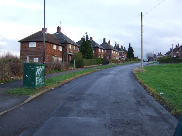
Image: © John Poyser Taken: 5 Jan 2007
These houses are on Smelter Bank Avenue,presume that iron smelting took place in the nearby woods.
Images are licensed for reuse under creativecommons.org/licenses/by-sa/2.0
Image Location
Latitude
53.363283
Longitude
-1.390019