Diamond Terrace, central section
Introduction
The photograph on this page of Diamond Terrace, central section by Stephen Craven as part of the Geograph project.
The Geograph project started in 2005 with the aim of publishing, organising and preserving representative images for every square kilometre of Great Britain, Ireland and the Isle of Man.

There are currently over 7.5m images from over 14,400 individuals and you can help contribute to the project by visiting https://www.geograph.org.uk
Diamond Terrace, central section
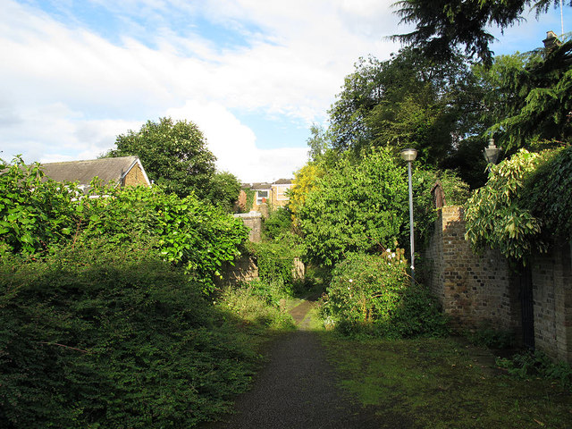
Image: © Stephen Craven Taken: 20 Jul 2012
Diamond Terrace is marked on street maps at the same width as other local streets, but is definitely not navigable by motor vehicles, being in parts exceedingly narrow, overgrown, muddy, and with a 90-degree bend and steps. So I have categorised it as a path. Compare Image
Images are licensed for reuse under creativecommons.org/licenses/by-sa/2.0
Image Location
Latitude
51.474479
Longitude
-0.007307