West Quadrant
Introduction
The photograph on this page of West Quadrant by David Lally as part of the Geograph project.
The Geograph project started in 2005 with the aim of publishing, organising and preserving representative images for every square kilometre of Great Britain, Ireland and the Isle of Man.

There are currently over 7.5m images from over 14,400 individuals and you can help contribute to the project by visiting https://www.geograph.org.uk
West Quadrant
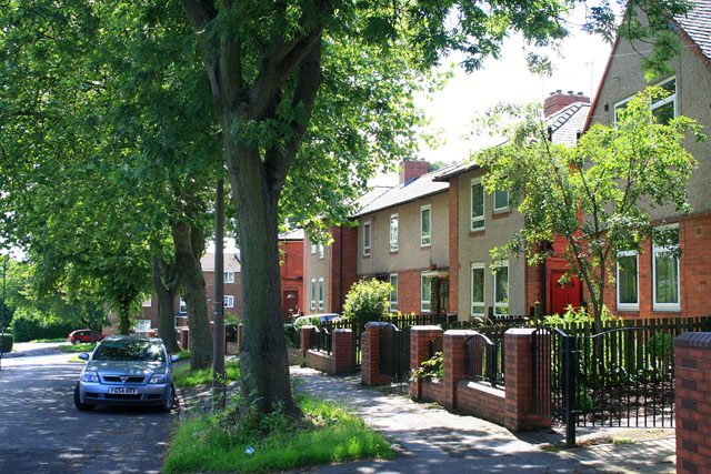
Image: © David Lally Taken: 15 Jul 2012
After years of decline from the 1980s council estates like this one appear to be slowly regenerating.
Images are licensed for reuse under creativecommons.org/licenses/by-sa/2.0
Image Location
Latitude
53.41683
Longitude
-1.449452