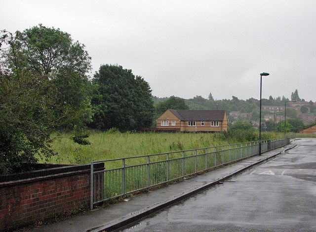
The site of St Ann's Well Station
Introduction
The photograph on this page of The site of St Ann's Well Station by John Sutton as part of the Geograph project.
The Geograph project started in 2005 with the aim of publishing, organising and preserving representative images for every square kilometre of Great Britain, Ireland and the Isle of Man.
There are currently over 7.5m images from over 14,400 individuals and you can help contribute to the project by visiting https://www.geograph.org.uk

Image: © John Sutton Taken: 20 Jul 2012
The picture is taken from roughly where the north end of the southbound platform once was. The grassed area behind the railings was the site of sidings and a goods shed, used until closure of the Nottingham Suburban Railway in 1951. The main entrance to the station for passengers was on Kildare Road (offstage right). Beyond the modern brick house the line crossed The Wells Road on a huge lattice girder bridge supported by brick arches. For more history, see Image

