Penshurst Rise, Davington
Introduction
The photograph on this page of Penshurst Rise, Davington by David Anstiss as part of the Geograph project.
The Geograph project started in 2005 with the aim of publishing, organising and preserving representative images for every square kilometre of Great Britain, Ireland and the Isle of Man.

There are currently over 7.5m images from over 14,400 individuals and you can help contribute to the project by visiting https://www.geograph.org.uk
Penshurst Rise, Davington
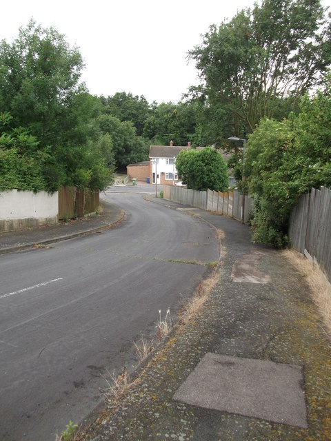
Image: © David Anstiss Taken: 16 Jul 2012
This road leads down from Willament Road towards The Knole. It used to be open to traffic when I used to cycle to school (in the 80/90's). But nowadays a metal barrier stops cars going up or down the hill. Beyond the Knole is Knole Wood (a protected local nature reserve).
Images are licensed for reuse under creativecommons.org/licenses/by-sa/2.0
Image Location
Latitude
51.317474
Longitude
0.878418