Swallow Lane, Golcar.
Introduction
The photograph on this page of Swallow Lane, Golcar. by Andrew Loughran as part of the Geograph project.
The Geograph project started in 2005 with the aim of publishing, organising and preserving representative images for every square kilometre of Great Britain, Ireland and the Isle of Man.

There are currently over 7.5m images from over 14,400 individuals and you can help contribute to the project by visiting https://www.geograph.org.uk
Swallow Lane, Golcar.
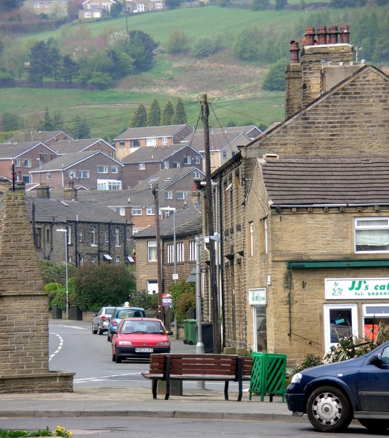
Image: © Andrew Loughran Taken: 6 Jul 2006
This view is taken from Golcar Town End, looking along Swallow Lane towards Scapegoat Hill & Bolster Moor.
Images are licensed for reuse under creativecommons.org/licenses/by-sa/2.0
Image Location
Latitude
53.63953
Longitude
-1.856276