Castle Park: the site of Nottingham Midland engine shed
Introduction
The photograph on this page of Castle Park: the site of Nottingham Midland engine shed by John Sutton as part of the Geograph project.
The Geograph project started in 2005 with the aim of publishing, organising and preserving representative images for every square kilometre of Great Britain, Ireland and the Isle of Man.

There are currently over 7.5m images from over 14,400 individuals and you can help contribute to the project by visiting https://www.geograph.org.uk
Castle Park: the site of Nottingham Midland engine shed
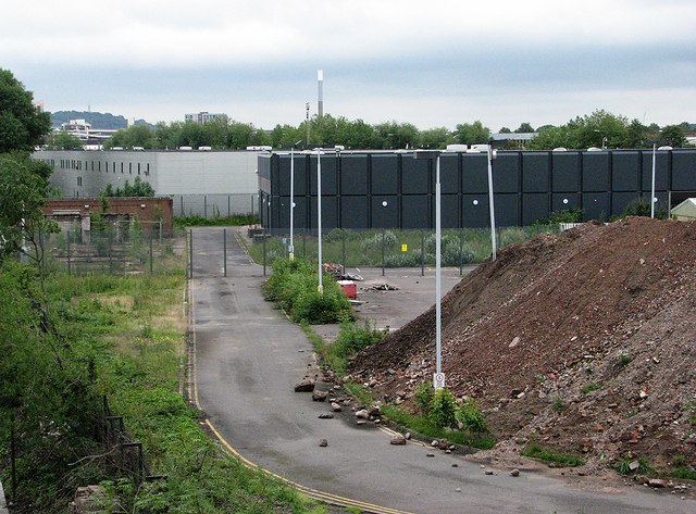
Image: © John Sutton Taken: 20 Jul 2012
In the days of steam this was the site of the three large roundhouses (actually square) and extensive sidings of Nottingham Midland Motive Power Depot (coded 16A), which stretched to Wilford Road in the east and Middle Furlong Road (long since cleared) at the northern edge of The Meadows. Image] shows the railway lines to the north of the trees on the extreme left. The chimney of Eastcroft Incinerator is on the skyline in the centre of the picture.
Images are licensed for reuse under creativecommons.org/licenses/by-sa/2.0
Image Location
Latitude
52.9445
Longitude
-1.157519