Newton Poppleford floods (5)
Introduction
The photograph on this page of Newton Poppleford floods (5) by Anthony Vosper as part of the Geograph project.
The Geograph project started in 2005 with the aim of publishing, organising and preserving representative images for every square kilometre of Great Britain, Ireland and the Isle of Man.

There are currently over 7.5m images from over 14,400 individuals and you can help contribute to the project by visiting https://www.geograph.org.uk
Newton Poppleford floods (5)
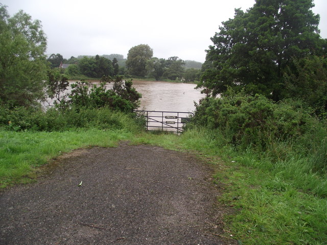
Image: © Anthony Vosper Taken: 7 Jul 2012
There is a certain irony about the sign on the gate. This is normally a dry meadow. Heavy rain as caused the River Otter to burst its banks.
Images are licensed for reuse under creativecommons.org/licenses/by-sa/2.0
Image Location
Latitude
50.700881
Longitude
-3.289513