Kilnsey in Wharfedale
Introduction
The photograph on this page of Kilnsey in Wharfedale by M J Richardson as part of the Geograph project.
The Geograph project started in 2005 with the aim of publishing, organising and preserving representative images for every square kilometre of Great Britain, Ireland and the Isle of Man.

There are currently over 7.5m images from over 14,400 individuals and you can help contribute to the project by visiting https://www.geograph.org.uk
Kilnsey in Wharfedale
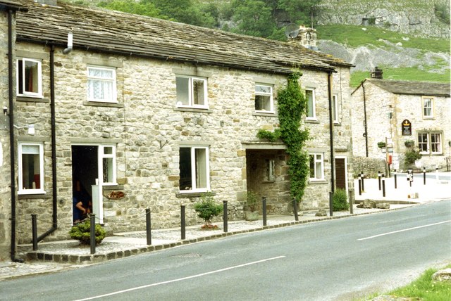
Image: © M J Richardson Taken: Unknown
The Tennant Arms under Kilnsey Crag, to the right, and two cottages, the left one of which was the base for walking part of the Dales' Way in 1994.
Images are licensed for reuse under creativecommons.org/licenses/by-sa/2.0
Image Location
Latitude
54.106168
Longitude
-2.040188