The Noor
Introduction
The photograph on this page of The Noor by Simon Carey as part of the Geograph project.
The Geograph project started in 2005 with the aim of publishing, organising and preserving representative images for every square kilometre of Great Britain, Ireland and the Isle of Man.

There are currently over 7.5m images from over 14,400 individuals and you can help contribute to the project by visiting https://www.geograph.org.uk
The Noor
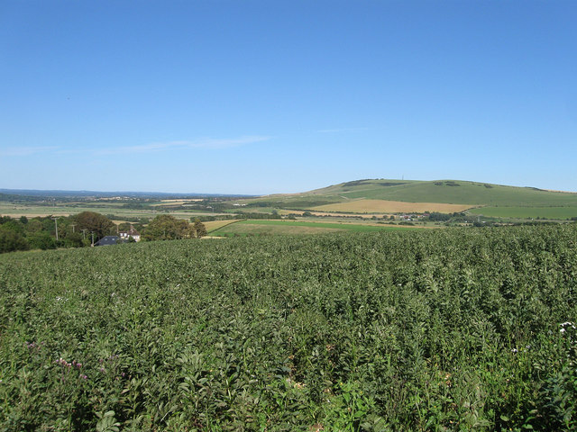
Image: © Simon Carey Taken: 22 Jul 2012
The name of the field according to Rodmell's 1839 tithe map. The area bounded by Mill Lane, Newhaven Road, the South Downs Way and the restricted byway leading to Cricketing Bottom is now one large field but at the time of the tithe map was subdivided into a number of small furlongs tilled by individual tenants. The Noor occupied a square area next to Mill Lane and down as far as Rodmell Hill House visible on the left. Beyond is the Ouse valley with Itford and Beddingham Hillson the eastern side with the Weald in the far distance to the left.
Images are licensed for reuse under creativecommons.org/licenses/by-sa/2.0
Image Location
Latitude
50.83129
Longitude
0.008347