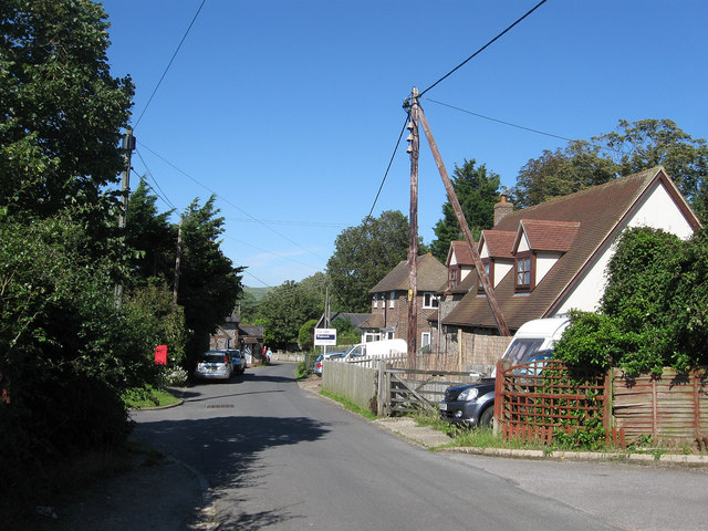
Mill Lane
Introduction
The photograph on this page of Mill Lane by Simon Carey as part of the Geograph project.
The Geograph project started in 2005 with the aim of publishing, organising and preserving representative images for every square kilometre of Great Britain, Ireland and the Isle of Man.
There are currently over 7.5m images from over 14,400 individuals and you can help contribute to the project by visiting https://www.geograph.org.uk

Image: © Simon Carey Taken: 22 Jul 2012
The lane heads south west from Newhaven Road and climbs up to the peak of Mill Hill where, as the names suggest, the old village windmill was once located. That mill was demolished at the end of the 18th century and replaced by another post mill further down the hill and located on a bank beyond the trees to the right. This post mill operated from 1801 to 1912 when, after years of minimal use, it was pulled down. Daisy Cottage and Wheelwrights are the houses to the right.

