The Shroppy
Introduction
The photograph on this page of The Shroppy by Phil Williams as part of the Geograph project.
The Geograph project started in 2005 with the aim of publishing, organising and preserving representative images for every square kilometre of Great Britain, Ireland and the Isle of Man.

There are currently over 7.5m images from over 14,400 individuals and you can help contribute to the project by visiting https://www.geograph.org.uk
The Shroppy
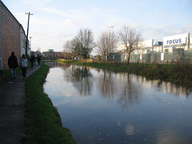
Image: © Phil Williams Taken: 28 Dec 2006
A view looking to the northwest along the Shropshire Union canal just after it has passed under the A51 Tarvin Road. The water tower at the Chester Waterworks can be seen in the distance.
Images are licensed for reuse under creativecommons.org/licenses/by-sa/2.0
Image Location
Latitude
53.192451
Longitude
-2.863566