The turning for Westbury Farm at Tomtit's Bottom
Introduction
The photograph on this page of The turning for Westbury Farm at Tomtit's Bottom by Ruth Riddle as part of the Geograph project.
The Geograph project started in 2005 with the aim of publishing, organising and preserving representative images for every square kilometre of Great Britain, Ireland and the Isle of Man.

There are currently over 7.5m images from over 14,400 individuals and you can help contribute to the project by visiting https://www.geograph.org.uk
The turning for Westbury Farm at Tomtit's Bottom
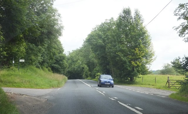
Image: © Ruth Riddle Taken: 21 Jul 2012
Looking eastwards along the A435 past the turning to the left.
Images are licensed for reuse under creativecommons.org/licenses/by-sa/2.0
Image Location


Leaflet Map data © OpenStreetMap
Latitude
51.824704
Longitude
-2.037533