Field boundaries at Ormiston
Introduction
The photograph on this page of Field boundaries at Ormiston by William Starkey as part of the Geograph project.
The Geograph project started in 2005 with the aim of publishing, organising and preserving representative images for every square kilometre of Great Britain, Ireland and the Isle of Man.

There are currently over 7.5m images from over 14,400 individuals and you can help contribute to the project by visiting https://www.geograph.org.uk
Field boundaries at Ormiston
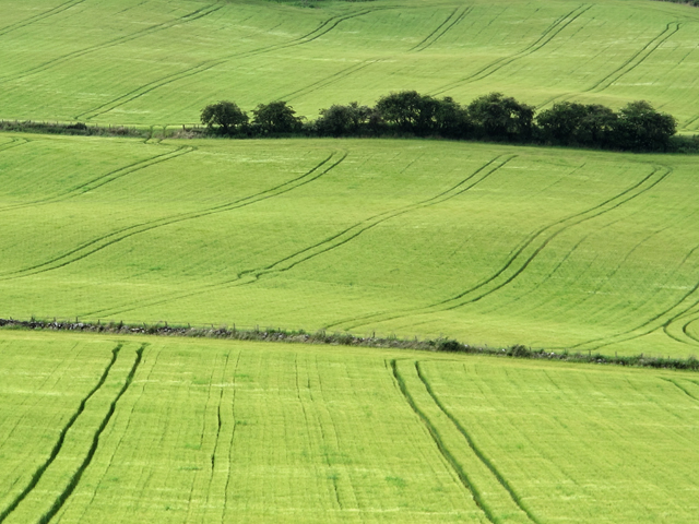
Image: © William Starkey Taken: 21 Jul 2012
Barley fields covering the lower slopes of Black Cairn Hill near Ormiston Farm.
Images are licensed for reuse under creativecommons.org/licenses/by-sa/2.0
Image Location
Latitude
56.336995
Longitude
-3.230405