Footpath to Ring Lows Lane
Introduction
The photograph on this page of Footpath to Ring Lows Lane by Bill Boaden as part of the Geograph project.
The Geograph project started in 2005 with the aim of publishing, organising and preserving representative images for every square kilometre of Great Britain, Ireland and the Isle of Man.

There are currently over 7.5m images from over 14,400 individuals and you can help contribute to the project by visiting https://www.geograph.org.uk
Footpath to Ring Lows Lane
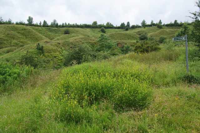
Image: © Bill Boaden Taken: 20 Jul 2012
Here leaving Buckley Lane. The lumpy nature of the far bank of the brook reflects past industrial activity.
Images are licensed for reuse under creativecommons.org/licenses/by-sa/2.0
Image Location
Latitude
53.638629
Longitude
-2.144704