National Park boundary on a canal bridge north of Mamhilad
Introduction
The photograph on this page of National Park boundary on a canal bridge north of Mamhilad by Jaggery as part of the Geograph project.
The Geograph project started in 2005 with the aim of publishing, organising and preserving representative images for every square kilometre of Great Britain, Ireland and the Isle of Man.

There are currently over 7.5m images from over 14,400 individuals and you can help contribute to the project by visiting https://www.geograph.org.uk
National Park boundary on a canal bridge north of Mamhilad
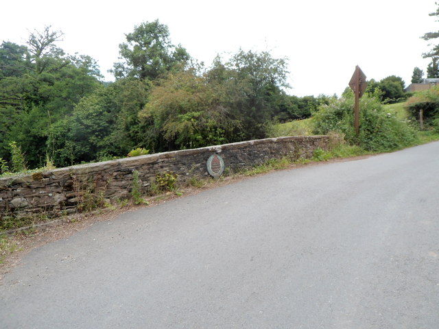
Image: © Jaggery Taken: 20 Jul 2012
A rather faded Brecon Beacons National Park boundary marker is on the western wall of bridge 65 http://www.geograph.org.uk/photo/3046541 carrying Old Abergavenny Road over the Monmouthshire and Brecon Canal. The national park begins on the far side of the marker.
Images are licensed for reuse under creativecommons.org/licenses/by-sa/2.0
Image Location
Latitude
51.731299
Longitude
-3.006294