Ash Green Lane East
Introduction
The photograph on this page of Ash Green Lane East by Robin Webster as part of the Geograph project.
The Geograph project started in 2005 with the aim of publishing, organising and preserving representative images for every square kilometre of Great Britain, Ireland and the Isle of Man.

There are currently over 7.5m images from over 14,400 individuals and you can help contribute to the project by visiting https://www.geograph.org.uk
Ash Green Lane East
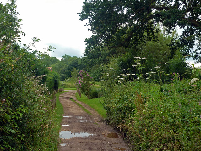
Image: © Robin Webster Taken: 20 Jul 2012
This is a byway, and one of the better ones as byways go and considering the wet weather. It is nearing its end at Pound Farm Lane.
Images are licensed for reuse under creativecommons.org/licenses/by-sa/2.0
Image Location
Latitude
51.240559
Longitude
-0.695781