Grazing land north of Mamhilad
Introduction
The photograph on this page of Grazing land north of Mamhilad by Jaggery as part of the Geograph project.
The Geograph project started in 2005 with the aim of publishing, organising and preserving representative images for every square kilometre of Great Britain, Ireland and the Isle of Man.

There are currently over 7.5m images from over 14,400 individuals and you can help contribute to the project by visiting https://www.geograph.org.uk
Grazing land north of Mamhilad
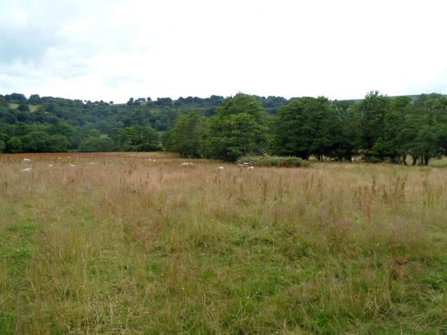
Image: © Jaggery Taken: 20 Jul 2012
Viewed from a field gate alongside Old Abergavenny Road, opposite the Pentre Lane http://www.geograph.org.uk/photo/3046481 junction. Grazing sheep are partly obscured by mid-July vegetation.
Images are licensed for reuse under creativecommons.org/licenses/by-sa/2.0
Image Location
Latitude
51.725855
Longitude
-3.011965