Alley from Clampet Lane to Bank Street
Introduction
The photograph on this page of Alley from Clampet Lane to Bank Street by Robin Stott as part of the Geograph project.
The Geograph project started in 2005 with the aim of publishing, organising and preserving representative images for every square kilometre of Great Britain, Ireland and the Isle of Man.

There are currently over 7.5m images from over 14,400 individuals and you can help contribute to the project by visiting https://www.geograph.org.uk
Alley from Clampet Lane to Bank Street
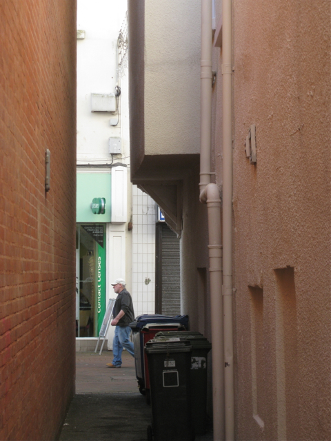
Image: © Robin Stott Taken: 19 Feb 2012
Clampet Lane is a narrow rear access that serves both Bank Street, ahead, and Orchard Gardens, behind the camera.
Images are licensed for reuse under creativecommons.org/licenses/by-sa/2.0
Image Location
Latitude
50.546233
Longitude
-3.496863