The Glenavy bypass (1980)
Introduction
The photograph on this page of The Glenavy bypass (1980) by Albert Bridge as part of the Geograph project.
The Geograph project started in 2005 with the aim of publishing, organising and preserving representative images for every square kilometre of Great Britain, Ireland and the Isle of Man.

There are currently over 7.5m images from over 14,400 individuals and you can help contribute to the project by visiting https://www.geograph.org.uk
The Glenavy bypass (1980)
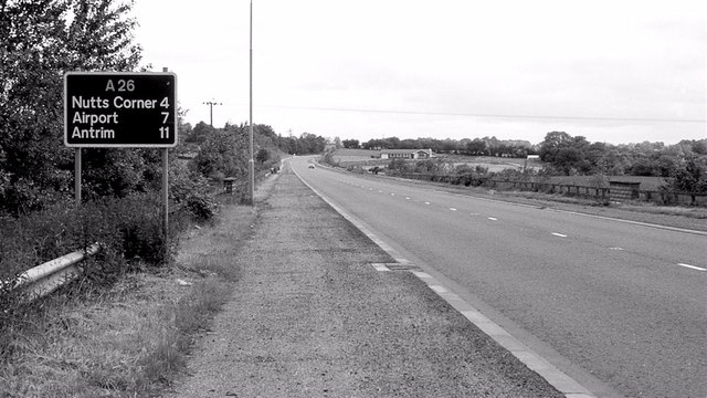
Image: © Albert Bridge Taken: 29 Jun 1980
See Image The Glenavy bypass is part of the road from Moira roundabout to Nutt’s Corner and Antrim. It also serves traffic from the west and south heading towards the airport at Aldergrove and to Larne Harbour. This view is towards Nutt’s Corner from the southern end of the road.
Images are licensed for reuse under creativecommons.org/licenses/by-sa/2.0
Image Location
Latitude
54.592282
Longitude
-6.211306