Corner of Park Road and Firs Road, Kenley
Introduction
The photograph on this page of Corner of Park Road and Firs Road, Kenley by Marathon as part of the Geograph project.
The Geograph project started in 2005 with the aim of publishing, organising and preserving representative images for every square kilometre of Great Britain, Ireland and the Isle of Man.

There are currently over 7.5m images from over 14,400 individuals and you can help contribute to the project by visiting https://www.geograph.org.uk
Corner of Park Road and Firs Road, Kenley
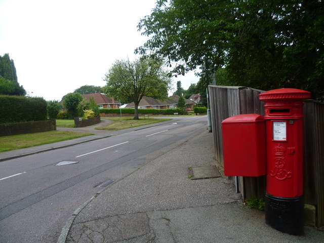
Image: © Marathon Taken: 18 Jul 2012
The sides of the Caterham Valley from Purley to Caterham are quite steep. Hayes Lane leads up from Kenley station to the top of the ridge by Firs Road where this photograph is taken looking along Firs Road.
Images are licensed for reuse under creativecommons.org/licenses/by-sa/2.0
Image Location
Latitude
51.320746
Longitude
-0.10755