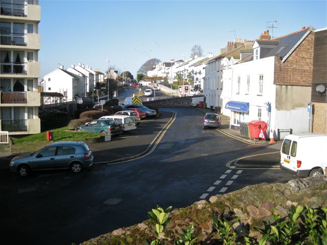
Bitton Park Road, eastern section
Introduction
The photograph on this page of Bitton Park Road, eastern section by Robin Stott as part of the Geograph project.
The Geograph project started in 2005 with the aim of publishing, organising and preserving representative images for every square kilometre of Great Britain, Ireland and the Isle of Man.
There are currently over 7.5m images from over 14,400 individuals and you can help contribute to the project by visiting https://www.geograph.org.uk

Image: © Robin Stott Taken: 19 Feb 2012
This was once the main road into the town from the west and must have been used by the clay wagons delivering to the docks. The widening and brutal realignment of the A379 in the late 1980s (deduced from Old Maps) left this severed length of Bitton Park Road accessible only from Fore Street/Exeter Street and Daimonds Lane. On the left are Douglas House flats at the top of Saxe Street, another road severed in the change. The view is from St James's churchyard. A closer view is Image

