Road from Raglan to Abergavenny approaches the turning for Llanvihangel Gobion
Introduction
The photograph on this page of Road from Raglan to Abergavenny approaches the turning for Llanvihangel Gobion by Jaggery as part of the Geograph project.
The Geograph project started in 2005 with the aim of publishing, organising and preserving representative images for every square kilometre of Great Britain, Ireland and the Isle of Man.

There are currently over 7.5m images from over 14,400 individuals and you can help contribute to the project by visiting https://www.geograph.org.uk
Road from Raglan to Abergavenny approaches the turning for Llanvihangel Gobion
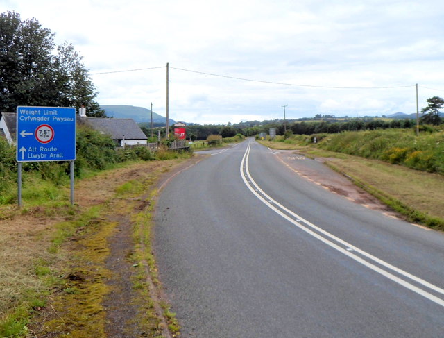
Image: © Jaggery Taken: 15 Jul 2012
There is a 7.5 tonne weight limit on the left turn ahead, the road to Llanvihangel Gobion and Usk. Near the corner ahead, there is a red To Let sign outside The Charthouse. http://www.geograph.org.uk/photo/3044731 On the right is a bus stop on route 83 from Abergavenny to Monmouth.
Images are licensed for reuse under creativecommons.org/licenses/by-sa/2.0
Image Location
Latitude
51.781236
Longitude
-2.947972