Road to Llanvihangel Gobion
Introduction
The photograph on this page of Road to Llanvihangel Gobion by Jaggery as part of the Geograph project.
The Geograph project started in 2005 with the aim of publishing, organising and preserving representative images for every square kilometre of Great Britain, Ireland and the Isle of Man.

There are currently over 7.5m images from over 14,400 individuals and you can help contribute to the project by visiting https://www.geograph.org.uk
Road to Llanvihangel Gobion
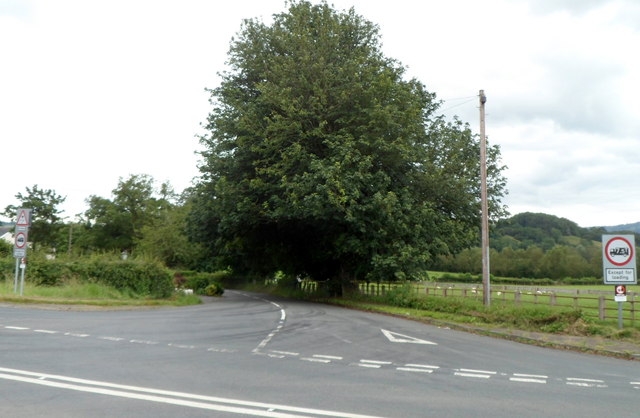
Image: © Jaggery Taken: 15 Jul 2012
The B4598 from Abergavenny via Penpergwm (from the right) bends to the south past the tree ahead, heading for Llanvihangel Gobion and Usk.
Images are licensed for reuse under creativecommons.org/licenses/by-sa/2.0
Image Location
Latitude
51.780337
Longitude
-2.947953