Dulwich: Lordship Lane
Introduction
The photograph on this page of Dulwich: Lordship Lane by Dr Neil Clifton as part of the Geograph project.
The Geograph project started in 2005 with the aim of publishing, organising and preserving representative images for every square kilometre of Great Britain, Ireland and the Isle of Man.

There are currently over 7.5m images from over 14,400 individuals and you can help contribute to the project by visiting https://www.geograph.org.uk
Dulwich: Lordship Lane
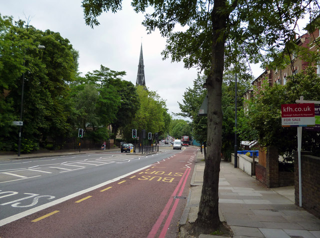
Image: © Dr Neil Clifton Taken: 18 Jul 2012
Looking northwest. The spire seen was a C of E church until 1984, but it was then sold to another denomination. It sees little activity now.
Images are licensed for reuse under creativecommons.org/licenses/by-sa/2.0
Image Location
Latitude
51.443113
Longitude
-0.067528