Glacial erratic
Introduction
The photograph on this page of Glacial erratic by Alasdair MacNeill as part of the Geograph project.
The Geograph project started in 2005 with the aim of publishing, organising and preserving representative images for every square kilometre of Great Britain, Ireland and the Isle of Man.

There are currently over 7.5m images from over 14,400 individuals and you can help contribute to the project by visiting https://www.geograph.org.uk
Glacial erratic
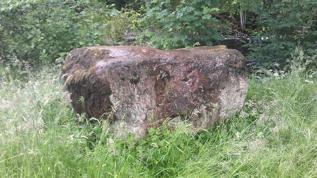
Image: © Alasdair MacNeill Taken: 11 Jul 2012
This huge boulder caught my eye during a walk along the riverside. It's way too big to have been carried by a flood, so I can only assume it was deposited by the last retreating ice sheet.
Images are licensed for reuse under creativecommons.org/licenses/by-sa/2.0
Image Location
Latitude
57.666483
Longitude
-4.337022