Fishing pegs
Introduction
The photograph on this page of Fishing pegs by Richard Croft as part of the Geograph project.
The Geograph project started in 2005 with the aim of publishing, organising and preserving representative images for every square kilometre of Great Britain, Ireland and the Isle of Man.

There are currently over 7.5m images from over 14,400 individuals and you can help contribute to the project by visiting https://www.geograph.org.uk
Fishing pegs
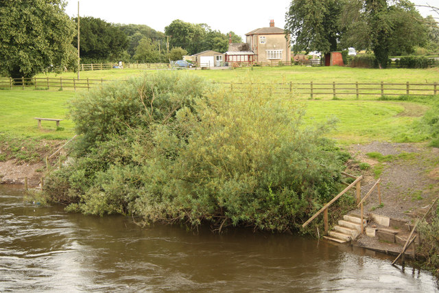
Image: © Richard Croft Taken: 17 Jul 2012
Steps to fishing pegs on the Trent by Muskham Bridge, submerged by high water after recent heavy rain
Images are licensed for reuse under creativecommons.org/licenses/by-sa/2.0
Image Location
Latitude
53.097108
Longitude
-0.824787